Class Overview
Have you been dreaming of spending a week boating in the San Juan Islands but are a little fuzzy on how to make it happen or not sure if you know enough? This course on trip planning is for you.
Whether you are looking forward to weekend getaways in Puget Sound or have heard Desolation Sound in Canada is amazing, the planning skills are the same. Knowing where to go, how long it will take, and what to expect along the way and when you get there is important. In this class you will learn how to use a wide variety of resources to plan the perfect trip for your boating interests and experience.
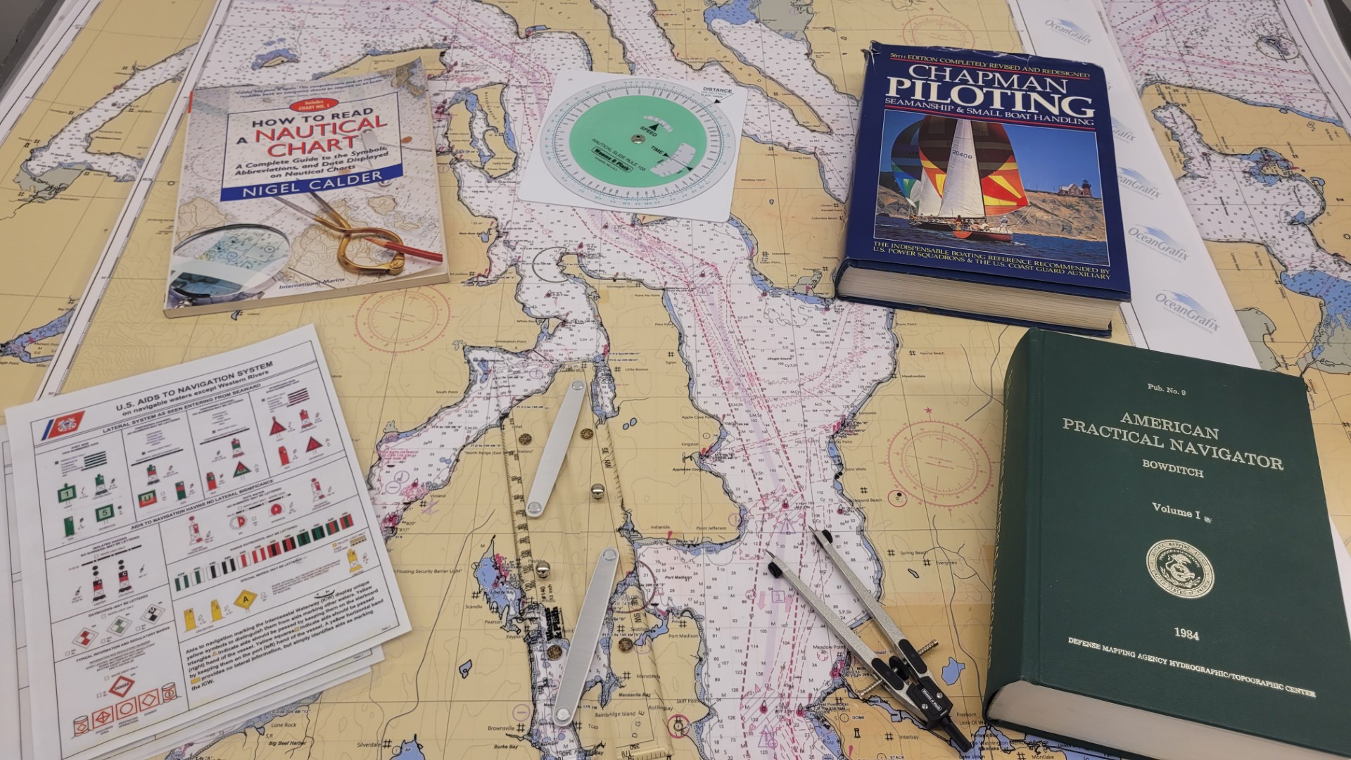
In class we will look at cruising guides, NOAA Coast Pilots, and different types of navigation charts. After an introduction to each of these resources we will plan a week-long trip to the San Juan Islands including favorite marinas, popular anchorages, and relevant information on tides and currents.
A portion of this class will be hands on working with local charts and navigation tools. If you have cruising guides, charts or chart books, or navigation tools please feel free to bring them to class.
Learning Objectives
- Use cruising guides for picking destinations
- Use charts to measure distance and estimate travel time
- Understand symbols used on navigation charts (e.g., hazards, the nature of the seabed, land features) and where to find more information
- Recognize all official buoys and beacons, etc. (Aids to Navigation) and understand their meaning
Who Might Enjoy This Class?
- Recreational boaters
- Anyone wanting to deepen or refresh their knowledge and get their questions answered
Class Details
Spring 2026
- When : Tuesday, May 12 ; 6:00 pm to 9:00 pm
- Location : SCSMA , SC - SMA General Class -SMA0111 , 4455 Shilshole Ave. NW Seattle WA 98107
- Fee : $89